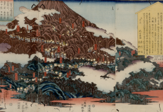
大日本分国輿地全図
title transcription
ダイニホンブンコクコシチゼンズ
subject
地図
cover title
大日本分国輿地全図(箋・刷・原)
inner title
第八幅大日本分国輿地全図
running title
ナシ
end title
ナシ
print/manuscript
刊
cover material
薄茶(不明模様あり)
endpaper title
ナシ
sheet material
楮
binding
一枚
volumes
1
frames
地図
series volumes
1(1/?)
issued
明治時代
period code
近代以降
creator
宮脇通赫
松浦 竹四郎 [閲]
publisher
山中 市兵衛
colophon
松浦竹四郎閲/著述人宮脇通赫識【右傍】愛媛縣士族【左傍】第四大区一小区表神保町番地/出版人山中市兵衛【右傍】東京府平民【左傍】第二大区五小区芝三島町十番地
foreword
ナシ
afterword
ナシ
book size
136.8×104.9
block frame
134.2×102.8
number of rows in a page
不定
number of letters in a row
不定
language
漢
片
ownership seal of 'Takane bunko'
無
ownership seal of 'Kotani'
無
other ownership seals
無
original owner
未詳
ncid
Item ID
0025364878
Nippon Decimal Classification
291.1:Mi 87:KOTANI
temporary number
339
rights
This archive contains old Japanese books, maps, and other items from the Kotani Collection, a mountain-related archive owned by the Shinshu University Library.
The Kotani Collection, donated to Shinshu University Library in 2002 by Ryuichi Kotani, an alumnus of the old Matsumoto High School, consists of about 8,000 mountain-related books and journals from various times and places. It is one of Japan's most prominent mountain-related collections.
This archive was created to support research and study by making Japanese old books, maps, and other items in the collection widely accessible via the Internet, and to improve the preservation of the original materials.