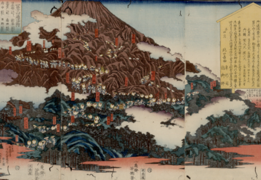
蝦夷闔境山川地理取調大概図
title transcription
エゾコウキョウ サンセンチリトリシラベタイガイズ
subject
地図
cover title
山川地理取調大概図(箋・刷・原)
inner title
蝦夷闔境山川地理取調大概図
running title
ナシ
end title
ナシ
print/manuscript
刊
cover material
青
endpaper title
ナシ
sheet material
楮
binding
旋風葉
volumes
1
frames
地図
series volumes
1(1/?)
issued
安政7(1860)
period code
江戸後期
creator
多氣志樓
publisher
小川 愼
colophon
ナシ
foreword
ナシ
afterword
ナシ
book size
37.6×50.0
block frame
ナシ
number of rows in a page
不定
number of letters in a row
不定
language
漢
片
ownership seal of 'Takane bunko'
無
ownership seal of 'Kotani'
有(朱・右下)
other ownership seals
小谷蔵書印(朱・右下)
original owner
小谷蔵書
other
箋に「蝦夷闔境 山川地理取調大概図 全」 見返しに「蝦夷元板藉豈忍付羶腥/定遠令何在慨然看地經/庚申夏日 陶菴大橋燾題/述堂小川愼書」
ncid
Item ID
0025364704
Nippon Decimal Classification
291.1:E 98:KOTANI
temporary number
335
rights
This archive contains old Japanese books, maps, and other items from the Kotani Collection, a mountain-related archive owned by the Shinshu University Library.
The Kotani Collection, donated to Shinshu University Library in 2002 by Ryuichi Kotani, an alumnus of the old Matsumoto High School, consists of about 8,000 mountain-related books and journals from various times and places. It is one of Japan's most prominent mountain-related collections.
This archive was created to support research and study by making Japanese old books, maps, and other items in the collection widely accessible via the Internet, and to improve the preservation of the original materials.